| Previous Bayou Teche Map | Second Bayou Teche Campaign Index Page | 16th OVI Home Page |
Map #3 - Second Bayou Teche Campaign
The Withdrawal
October 3 to November 17, 1863
The Withdrawal
October 3 to November 17, 1863
Web Author's Notes:
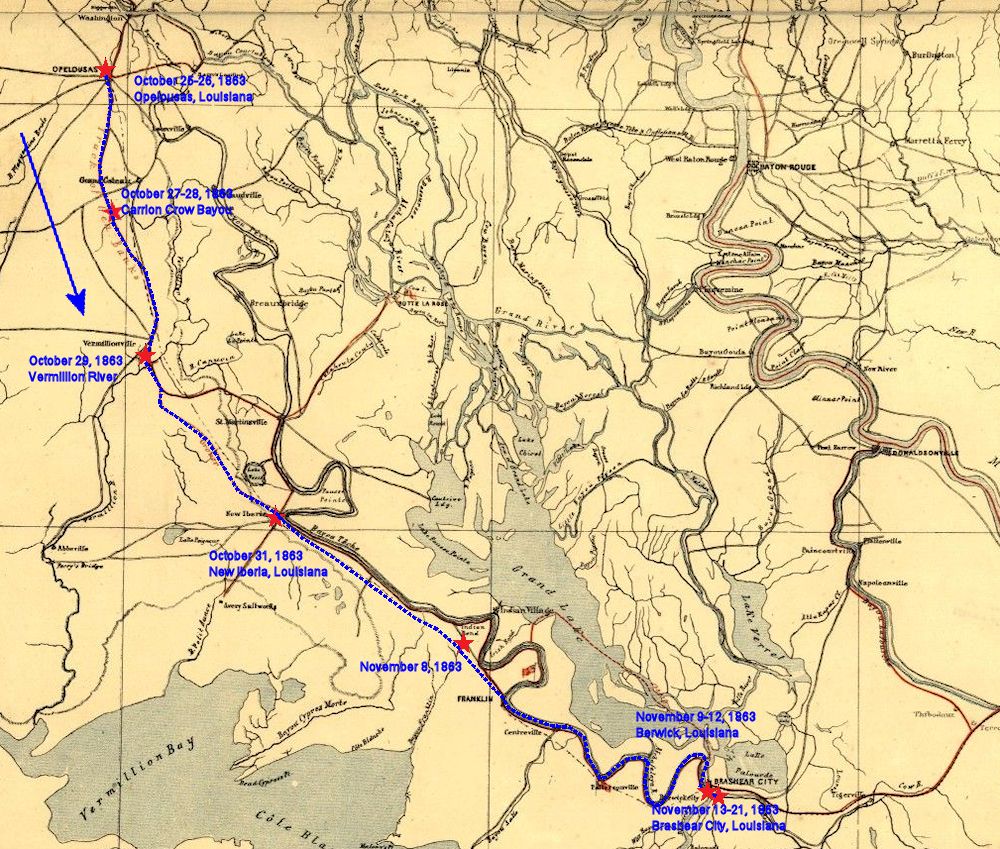
This period map is annotated with the approximate route of the 16th Ohio in its march from Opelousas, Louisiana, the farthest point reached by Gen. Nathaniel Banks on his campaign to invade Texas, back to Brashear City (Morgan City), Louisiana, after Banks decided to abandon his plan.
* Map source: Library of Congress, U.S. Geological Survey 1863
| Previous Bayou Teche Map | Second Bayou Teche Campaign Index Page | 16th OVI Home Page |